GPS & GIS
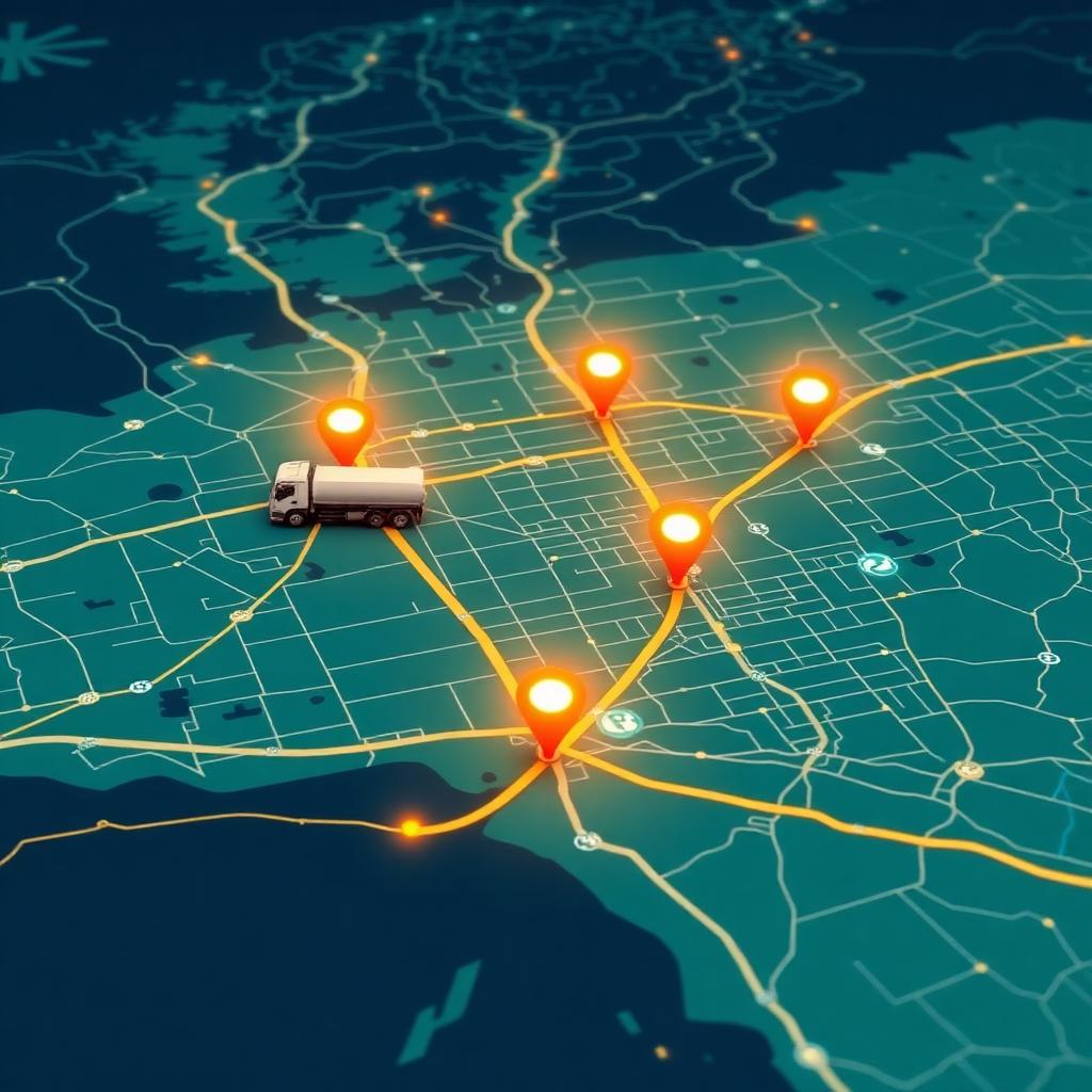
GPS and GIS add the geographic dimension to cylinder tracking — showing not just what you have, but exactly where it is on a live map.
GPS tracks delivery vehicles and location-tagged cylinders in real time, while GIS turns that data into route optimisation, geofences and regional distribution maps.
Together they help gas distributors cut delivery costs, prove service, and understand where their assets concentrate across a territory.

Key benefits
Live vehicle tracking
See delivery trucks and their cylinder loads on a real-time map.
Optimised routes
GIS route planning shortens drives and speeds up turnaround.
Geofencing
Get alerts when vehicles reach, leave or deviate from key zones.
Territory insight
Map where cylinders and demand concentrate across regions.
What's included
- Real-time GPS vehicle tracking
- GIS-based route optimisation
- Geofence entry/exit alerts
- Location-tagged cylinder mapping
- Delivery ETA and proof-of-location
- Regional distribution analytics
Frequently asked questions
What is the difference between GPS and GIS?
GPS provides the location of vehicles and assets; GIS analyses and maps that location data for routing, geofencing and regional insight.
How does this cut delivery costs?
GIS route optimisation reduces distance and time per trip, while live tracking improves scheduling and turnaround.
Can I be alerted when a truck reaches a customer?
Yes, geofencing can trigger alerts on entry to or exit from defined zones.
Does it track cylinders or just vehicles?
It tracks vehicles by default and can track location-tagged high-value cylinders where devices are fitted.
Ready to gain full control of every cylinder?
Book a personalized GCT demo and see how leading gas companies eliminate cylinder losses.